top of page


1/1


 |
|---|
A FANTASTIC WAY TO DISCOVER MONGOLIA
AND THIS IS THE PLACE TO START YOUR MOTORCYCLE ADVENTURE
IF YOU ARE AFRAID, DON'T DO IT. IF YOU DO IT, DON'T BE AFRAID
Mongolian proverb
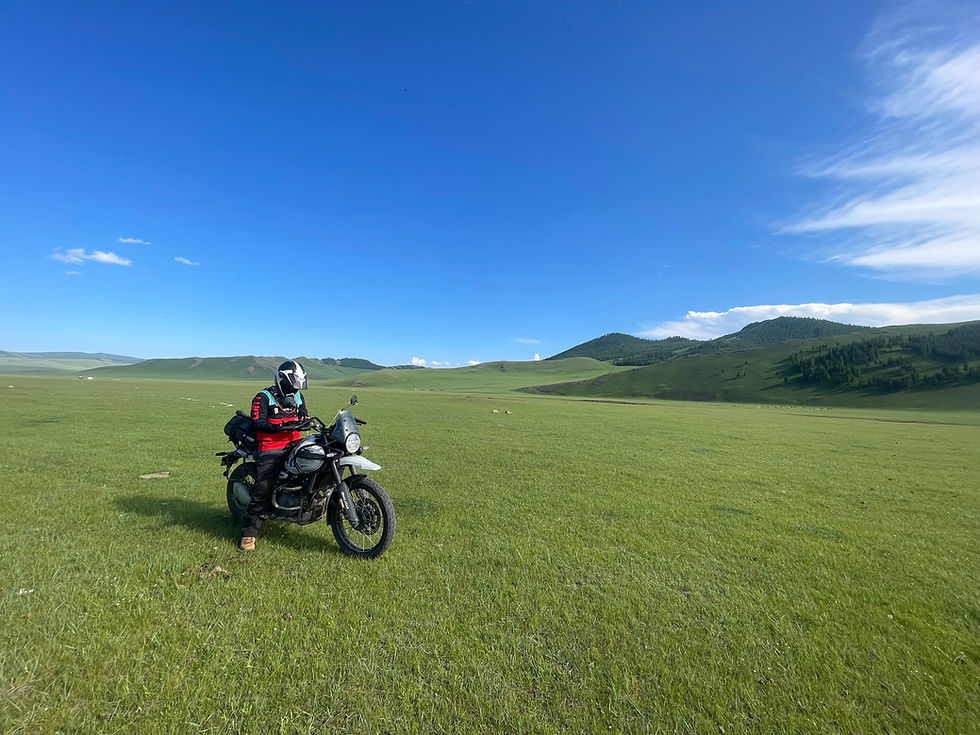
Discover the breathtaking landscapes of Mongolia, a true adventure playground for motorbike enthusiasts. With over 3 million inhabitants spread across a vast wilderness, you'll find volcanoes, fish-filled rivers, serene mountain lakes, and ancient monasteries waiting to be explored. We offer 200cc Shineray motorcycle rentals, perfect for navigating the steppe, backed by the expertise of local nomads can assist with repairs. For those seeking a more comfortable journey, our 4x4 van service comes with a driver, ensuring you have everything you need for a successful and autonomous trip into the heart of Mongolia.

PROJETS

GUIDED TOURS
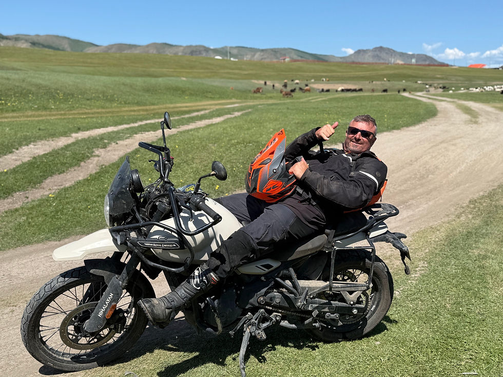
ROYAL ENFIELD HIMALAYAN 450

SELF GUIDED TOURS
SOLO TRIPS
Discover more things to do in Ulaanbaatar with
bottom of page